Unseen Barriers
Large scale construction projects are not short of hurdles. Many challenges must be overcome in order to develop projects such as tall buildings, telecommunications masts and wind turbines to name just a few. Factors that may spring to mind are funding, logistics, ownership and opposition from residents.
Another constraint, which is perhaps less obvious, is military low flying.
Military Low Flying
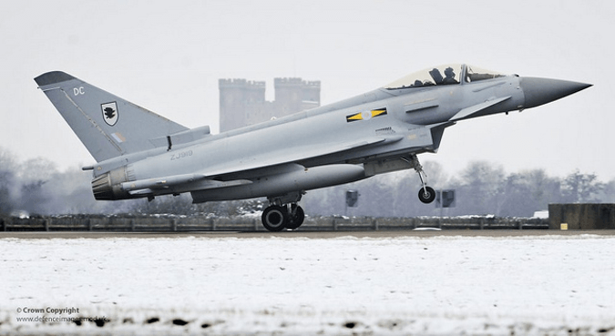
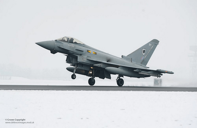
As part of their training, military pilots are required to fly jets at very low altitude. Fixed wing aircraft (planes) will fly as low as 250 feet above the ground, while rotary-wing aircraft (helicopters) will fly as low as 100 feet above the ground.

Where is Military Low Flying Allowed?
The short answer is ‘everywhere’! Low flying by military aircraft is carried out across all [1] of the UK. It is usually not allowed around airports or towns with populations of more than 10,000 people. That said, certain areas are more extensively subject to military low flying than others.
The UK is divided into 20 low flying areas and three of them are known as ‘Tactical Training Areas’. These areas are located in Central Wales, Northern Scotland and the borders between Scotland and England. They see significantly more military low flying than the rest of the UK.
How Can I Estimate a Project’s Risk?
In general, it is sensible to ask the questions below as a starting point:
- Is the project is within 20 km of a licensed aerodrome?
- Does military low flying regularly take place at the project location?
- Is the project going to be the tallest structure in its vicinity?
If the answer to any of the above is ‘yes’, it could be worthwhile investigating the aviation issues and considering mitigation options sooner rather than later.
How Can I Be Sure of a Project’s Risk?
Guidance on physical safeguarding can be complicated, The only way to comprehensively answer the question is to undertake a detailed assessment.
We provide a rapid and reliable online assessment for physical obstruction issues, and can also offer bespoke military low flying assessments and provide support for any other aviation issue you may come across.

Helpful resources
The MOD has published a map which indicates the likelihood of an objection in the different parts of the UK. This map was intended for wind developments specifically, but provides a good starting point for any proposed tall structure.
In addition to this, military low flying information can be found on www.gov.uk.
With regard to other aviation constraints – there is no comprehensive guidance for the UK as a whole; however some local councils and airports provide their own safeguarding information.
References
[1] Low Flying Military Aircraft – https://www.gov.uk/low-flying-in-your-area/overview (Last accessed 20/10/2014)
Image attributions: “Typhoon Landing At RAF Coningsby” by UK Ministry of Defence / CCBY / Image resized from original
“Typhoon Landing At RAF Coningsby” by UK Ministry of Defence / CCBY / Image resized from original
