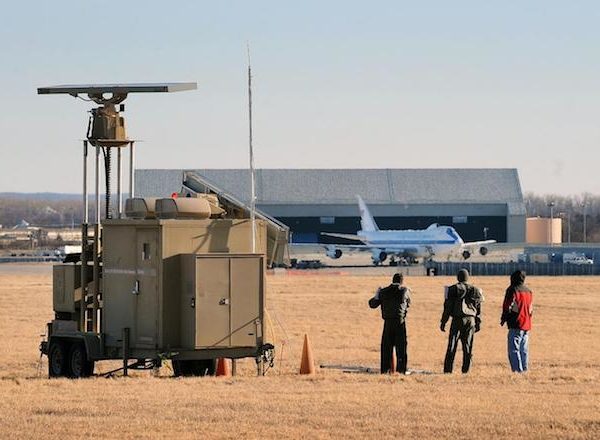
Radar detects targets and displays them on a screen with the radar being designed to detect aircraft, shipping, precipitation or vehicles. Wind turbines can affect these systems because they are physically large (up to 200 metres tall) and because their blades travel at high speed (in excess of 180 km/hr).
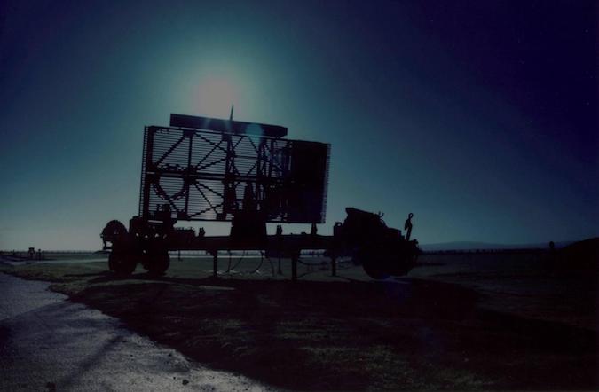
Figure 1 Mobile Air Defence Radar
Radar Interference Sources
There are many other sources of radar interference including:
- Birds
- Waves
- Weather
- High ground
- Ships
- Communications masts
- Chimneys
- Road traffic
- Buildings
How Radar Works
Radars transmit and receive radio pulses which are used to determine and plot target position. They determine position from the direction, or bearing, the radar antenna is pointing as well as the elapsed time between transmitted and received pulses. Some radar have Doppler filters that reject returns from stationary sources such as masts and chimneys.
The Effect of Wind Turbines
Wind turbines, and most other objects, affect radio signals. They can emit weak signals themselves; they can block signals and they can reflect them. This means that they can have the following radar effects:
- They can appear as false returns or clutter
- They can make the radar less sensitive
- Their returns can obscure genuine returns
- They can overload the radar’s processing systems
- They can make genuine returns appear in the wrong location
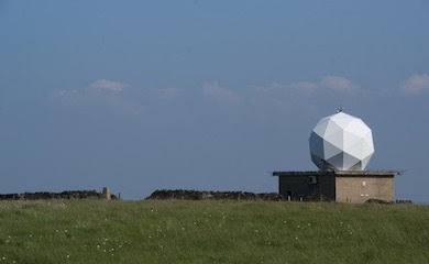
Types of Radar
The following types of fixed radar can be affected by wind turbines:
- Air defence radar used for identifying hostile aircraft
- Air traffic control radar used for maintaining aircraft separation
- Primary and Secondary Surveillance radar
- Marine radar used for controlling shipping
- Meteorological radar used for reporting rainfall and precipitation
Radar Impact Assessments – Base Data
Radar Impact Assessments show how a wind development will affect a radar with the following data typically being required for an assessment to proceed:
- Radar location
- Radar antenna height
- Radar range
- Radar frequency
- Wind turbine locations
- Wind turbine hub height
- Wind turbine maximum tip height
- Digital terrain data for the wind farm area, radar and intervening terrain
- Operational nature of the volume of airspace above and around the wind farm
Radar Impact Assessments – Contents
Radar Impact Assessments typically include the following:
- Methodology
- Data used for the assessment
- Geometric assessment
- Radar Line of Sight analysis accounting for
- Terrain
- Additional shielding by buildings or vegetation
- Earth curvature
- Refraction
- Radar detectability analysis which additionally accounts for
- Diffraction over terrain
- Radar transmitter power
- Radar receiver sensitivity
- Predicted technical impact on radar
- Predicted technical impact on connected processing and display systems
- Operational overview of volume around the wind farm
- Predicted operational impact
- Cumulative assessment if required
- Predicted overall impact
- Assessment of requirement for mitigation
- Overview of mitigation options (if required)
- Mitigation recommendations (if required)
- Overall conclusions and recommendations
Further Information
Pager Power has been undertaking Radar Impact Assessments using its own custom software since 2002 in the United Kingdom, Ireland, France, South Africa and the rest of the world. Sometimes radar simulations may be undertaken.
https://www.pagerpower.com/what-we-do/telecommunications-impact/
