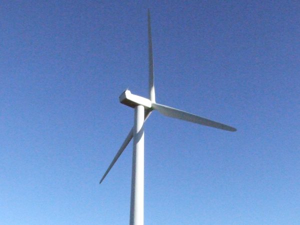
Mike Watson has recently composed a white paper titled “Creating and Using Terrain Based Assessments.” Terrain Based Assessments (TBAs) are really useful for the development of transport, property or renewable energy. Specifically for wind turbine development they underpin studies such as radar detectability and line of sight analysis.
It is possible to think that “terrain” of the Earth is synonymous with the “surface” if the Earth, however when it comes to digital modelling the two must not be confused. To bring about some clarity:
- Digital terrain data corresponds to the bare ground. So it does not include objects like trees and buildings.
- Digital surface data accounts for the object that sit on the ground. So surface data would include the trees and buildings.
The terrain based assessments that Pager Power offer include line of sight charts, radar coverage charts, aerodrome protected surfaces charts and TV interference predictions.
The white paper makes for an interesting read, and offers a small insight into what Pager Power is all about.
Remember that for further information you can always contact us.
